Satellite data can do many things for governments. One under-discussed use case is giving them a leg up against illegal fishing.
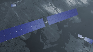
A team of startups aims to use space-based edge computing to get fishing insights in near real-time. Edge computing = localized computing, in this case on a satellite.
- Los Angeles-HQ’d Exo-Space will provide their edge computing hardware-software platform, and
- Houston- and Oxford-based Little Place Labs will write the machine learning model to process data.
Working with an unnamed client in Southeast Asia, the companies aim “to prove that edge computing in satellites, or in space, is a possibility,” Little Place Labs Co-founder and CEO Bosco Lai told Payload.
The companies intend to launch the mission in Q2 next year to a 500-km sun-synchronous orbit. If successful, “the possibilities are limitless,” Lai said.
Why it matters
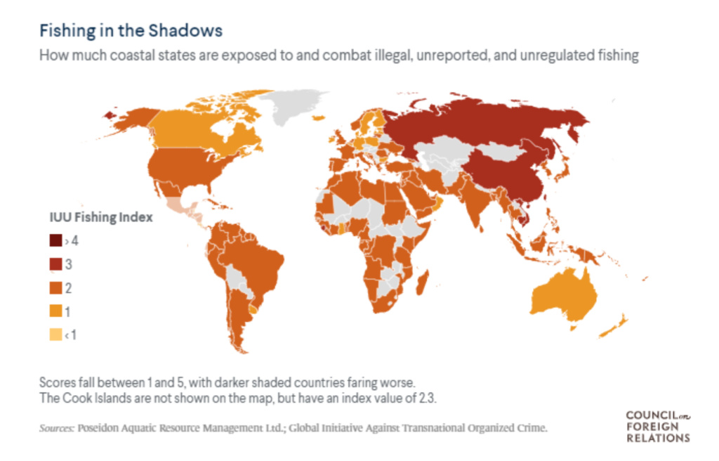
Illegal fishing is a threat not just to national economies but also natural ecosystems. Globally, illegal and unreported fishing costs up to $23B per year, according to PEW Charitable Trusts.
But enforcing fishing regulations is notoriously difficult, and to be effective, regulators must be able to react to illegal vessels quickly.
Satellites have provided some hope. Currently, though, space-based imagery must be processed on Earth. That raw satellite data has to downlink to a ground station, which can be a slow and costly process due to latency delays and bandwidth limitations. From there, data is relayed to a processing center for analysis, and finally, the analytics are forwarded to the end user.
State-of-the-art satellites today can take 5+ hours to complete that process, per Exo-Space. That doesn’t work in time-sensitive situations.
- “The current solution doesn’t allow the authorities or the agencies to react,” Lai said. “With even a few hours’ delay… by the time you get to it, the boat is long gone.”
Honing response time: Edge computing processes data on-orbit, reducing delays. Exo-Space’s hardware on the satellite would immediately run Little Place Labs’ ML program, trawling satellite imagery for characteristics of illegal fishing. When it detects vessels breaking size limitations, dragging a large net, encroaching on no-fishing zones, or moving with a posse of many smaller boats, those insights can be sent in near real-time to the consumer.
- Instead of downlinking all the raw imagery, only relevant insights will be sent to the ground.
“This will be a lot less costly for the consumer,” Exo-Space Co-Founder and Lead Systems Engineer Marcel Lariviere told Payload. “They don’t have to go through hundreds of images that are useless to them.”
- The companies aim to deliver information within one hour initially, and shave this down to minutes in the future.
At the end, the user will receive a notification that the satellite has detected a vessel. It might include a picture with the time, as well as the location and direction of the ship, Lai said. Then, ideally, the client can react with enough time to have an impact.

Cutting-‘edge’ innovation
Though the companies are focused on illegal fishing now, they hope to apply this tech elsewhere down the line. “Edge computing is the future,” Lai said. “That’s what we believe in.”
One future use? Mapping wildfires. Satellite imagery could reveal much about a fire, from its latitude and longitude to its timing and shape. With additional sensors on-orbit, the satellite could even measure the blaze’s temperature.
Other potential use cases include combat situations, space situational awareness, agricultural insights, humanitarian aid, disaster relief, oil spills, monitoring ocean trash, or vessel detection for coast guards, said Lai and Lariviere.
- “These are all things that would need quick, near real-time analytics,” Lai said. “And you can really only do that by doing data processing in space. That’s our ultimate north star.”
