
Albedo, a VLEO imaging startup, secured a $35M Series A-1 round to launch the company’s first satellite, accelerate constellation deployment, and further vertically integrate.
Standard Investments led the round, which also included new investors such as Booz Allen Ventures, Cubit Capital, and Bill Perkins. Albedo, a Y Combinator alum, has now raked in a total of $97M in funding. The Denver-based startup is aiming to launch its first satellite early next year.
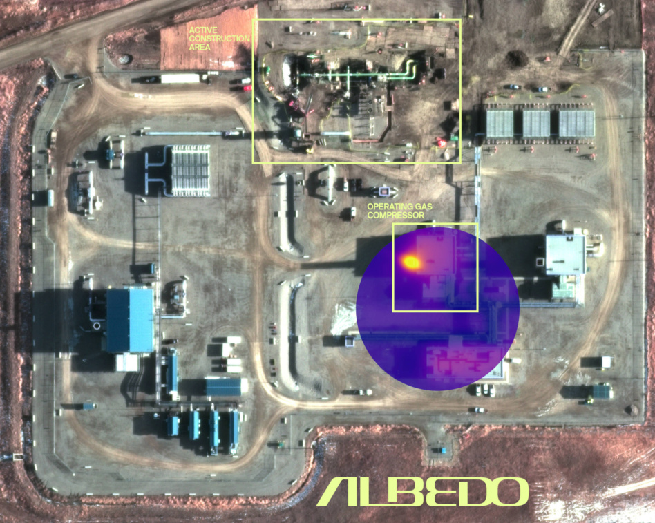
VLEO imaging: Albedo plans to operate a fleet of birds in the seldom-used Very Low Earth Orbit (VLEO), an area nearly twice as close to the Earth as LEO. The goal is to capture the highest-resolution imagery on the market, at 10-cm optical and 2-meter thermal infrared. According to the company, that’s more than double the clarity of its optical competitors in LEO.
The higher resolution made possible by the close proximity to Earth will open new markets for satellite imagery, according to Albedo CEO Topher Haddad.
“The value prop here is that we bridge the best of both worlds between a satellite platform and an aerial platform,” Haddad told Payload. “We’ll be able to enter markets that rely on drones and planes today.” Those markets include property insurance, real estate, construction, agriculture, and power lines.
Instability: The challenge with VLEO is it is a highly unstable orbit, requiring multiple thrusts per orbit to fight against atmospheric drag that will be constantly beckoning the satellite to a fiery reentry doom. Albedo developed novel high-precision control, robotics, and pointing mechanisms to manage VLEO maneuvering while simultaneously capturing photos of Earth.
Competition: Albedo won a first-of-its-kind NOAA license to sell 10-cm satellite imagery in 2021 before the agency decided to loosen imaging restrictions for the rest of the market, which gave other commercial EO operators the green light to capture super high-res images. Soon after the rule change, Umbra set the high-water mark for a radar photo by releasing a 16-cm SAR image. However, attaining such resolution in optical imagery is more challenging, with LEO sat capabilities in the 25-cm to 30-cm resolution range.
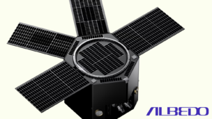
Albedo Ratchets Up the Power for its Second VLEO Flight
Albedo announced a new VLEO capable satellite bus today that’s aiming to fly the company’s second orbital mission in 2027.

Insurance is Commercial Space Nuclear’s Biggest Headache
Lots of challenges face commercial space nuclear missions—but experts at an industry seminar on Thursday only called one a “show stopper”—insurance.
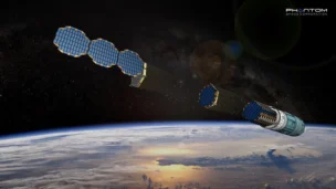
Phantom Space Acquires Thermal Management Technologies
Thermal Management Technologies builds advanced satellite thermal components for in-space applications.
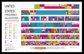
Airbase Emerges From Stealth With $5M to Automate Spectrum Allocation
As demand for spectrum grows alongside the rising number of missions in orbit, a new startup is looking to ease management of this precious, finite resource.
Aldoria, formerly known as Share My Space, clinched a €10M ($10.9M) Series A round to expand its space situational awareness (SSA) offering.
Starquest Capital led the round with participation from the European Innovation Council Fund, France’s Deeptech 2030 fund, and Expansion Ventures. The French startup has now raised a total of €22M ($23.9M).
With the fresh capital, the object-tracking startup, aims to:
Keep reading