This morning, Maxar ($MAXR) announced that it has won a contract worth $192M over five years to supply American allies with high-res optical, SAR and 3D imagery.
The National Geospatial-Intelligence Agency (NGA) award falls under the Foreign Commercial Imagery Program. The indefinite delivery, indefinite quantity contract will see the US and its allies tap data from four Maxar offerings:
- SecureWatch, covering timely imagery and analytics
- Rapid Access Program, which provides “the highest commercially available collection priority, predictable access plus virtual control of imaging operations to help meet mission requirements—all from any location on Earth.”
- Precision 3D, which leverages Maxar imagery to create digital representations of Earth and its terrain
- Commercial SAR, an all-weather, 24/7 radar service.
+ While we’re here: The range of Maxar’s satellite data collection and its close ties to government customers has made its imagery the first line of defense when disaster strikes around the globe.
When war broke out in Ukraine, governments and humanitarian groups leveraged Maxar imagery to characterize destruction, track Russian troop movements, and identify aid pathways.
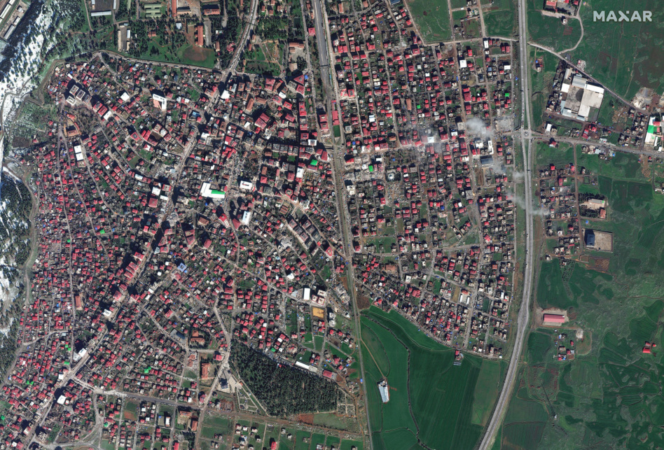
Now, the company is applying its data coverage to aid Turkey and Syria after the major earthquakes that have killed more than 11,000 people. Yesterday, the company announced that it will activate its Open Data Program over the countries to aid rescue operations.


