
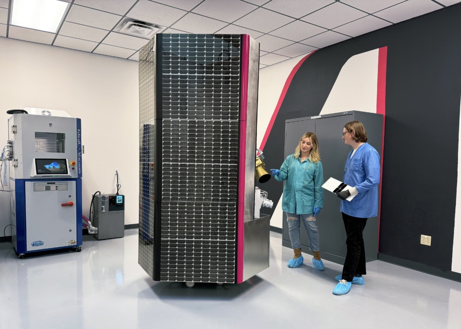
Albedo will launch its first satellite in February aboard SpaceX’s Transporter-13 rideshare mission, the VLEO imaging startup announced Wednesday.
The satellite, dubbed Clarity-1, is already a hit with customers in sectors ranging from climate science to mining to energy grids who are booking time on the sat to add to or in some cases replace the imaging they’re doing now with planes and drones.
Supply and demand: Albedo has a set number of images it can collect between Clarity-1’s launch in 2025 and mid-2027, when the company starts to build out its constellation. Tasking for the sat will be “first come, first served,” according to CEO Topher Haddad—and customers are already signing up under the startup’s Albedo Reserve program, putting down a deposit now to guarantee their images.
Albedo shares their existing inventory for commercial customers in an online map that shows how much tasking is still available in different sectors of the world. The continental US, which is the top seller, according to Haddad, has about 26% availability remaining. Central Europe is about half sold out, and Australia only has about 38% left.
Some regions, including Russia and China, are high-priority areas for US government imaging, so there’s not any commercial inventory available right now.
Customers: Albedo announced half a dozen customers who have already reserved tasking on Clarity-1, including:
- AiDash, which works to make critical infrastructure industries more resilient to climate change and natural disasters, like severe storms and wildfires
- Open Grid Europe, a German gas transmission grid operators who will use space assets for the first time to monitor its 12,000+ km of pipeline
- PhotoSat, which provides info to the mining and geology industries, and can use Albedo’s assets to image areas where drones can’t go
“It’s a mix of customers who already buy satellite imagery and want high res on top of that, or a lot of these customers only fly helicopters to do this, and think 10-cm [imagery] is enough to replace that,” Haddad said.

Intel Authorization Act Proposes Limiting Commercial EO Access
EO data is a privilege, not a right, and the US government wants to control what EO satellite operators can and can’t share with the public.
Exclusive: Satellogic Expands AI Apps with SpaceKnow Partnership
Satellogic partnered with SpaceKnow, the AI-powered geospatial intelligence analysis company, to build AI applications on top of Satellogic’s growing stock of satellite imagery.

Exclusive: Tilebox Launches AI-Focused Update
Tilebox announced an update today aiming to make AI agents more effective geospatial-data analysts.

Recapping Planet’s Q1 With CFO and President Ashley Johnson
“That’s one of the ways that I think we’re differentiated from companies that are going to have much more binary outcomes,” she said. “If you’re selling hardware, you recognize revenue when you’ve delivered that hardware. If it fails, that’s the end of the story.”

Apex closed a $95M Series B this week to ramp up production of their Aries satellite bus and meet surging market demand, the company announced on Wednesday.
Existing investors at XYZ Ventures alongside new investors from Charles River Ventures led the round, which brings their total funding to over $125M. The round also included participation from Upfront, 8VC, Toyota Ventures, and angel investor Baiju Bhatt, co-founder of Robinhood.
Tickets, please: In March, Apex launched its first satellite bus on SpaceX’s Transporter-10, carrying payloads from Booz Allen Hamilton, Scout Space Inc, and tier-one prime defense contractors to LEO. The mission proved that Apex could bring payloads to orbit much faster than bespoke or in-house alternatives.
Keep reading