

EO
Stories about the Earth Observation industry’s eyes on our planet.
Satellogic Maps Out Exclusive India Deal with Suhora
“Satellogic recognizes India as one of the fastest-growing markets for space technology and its applications, and Suhora is the strongest partner in India to focus on bringing Satellogic products to market,” Driver said.


Esper Satellites Sends its Hyperspectral Sensor to Orbit
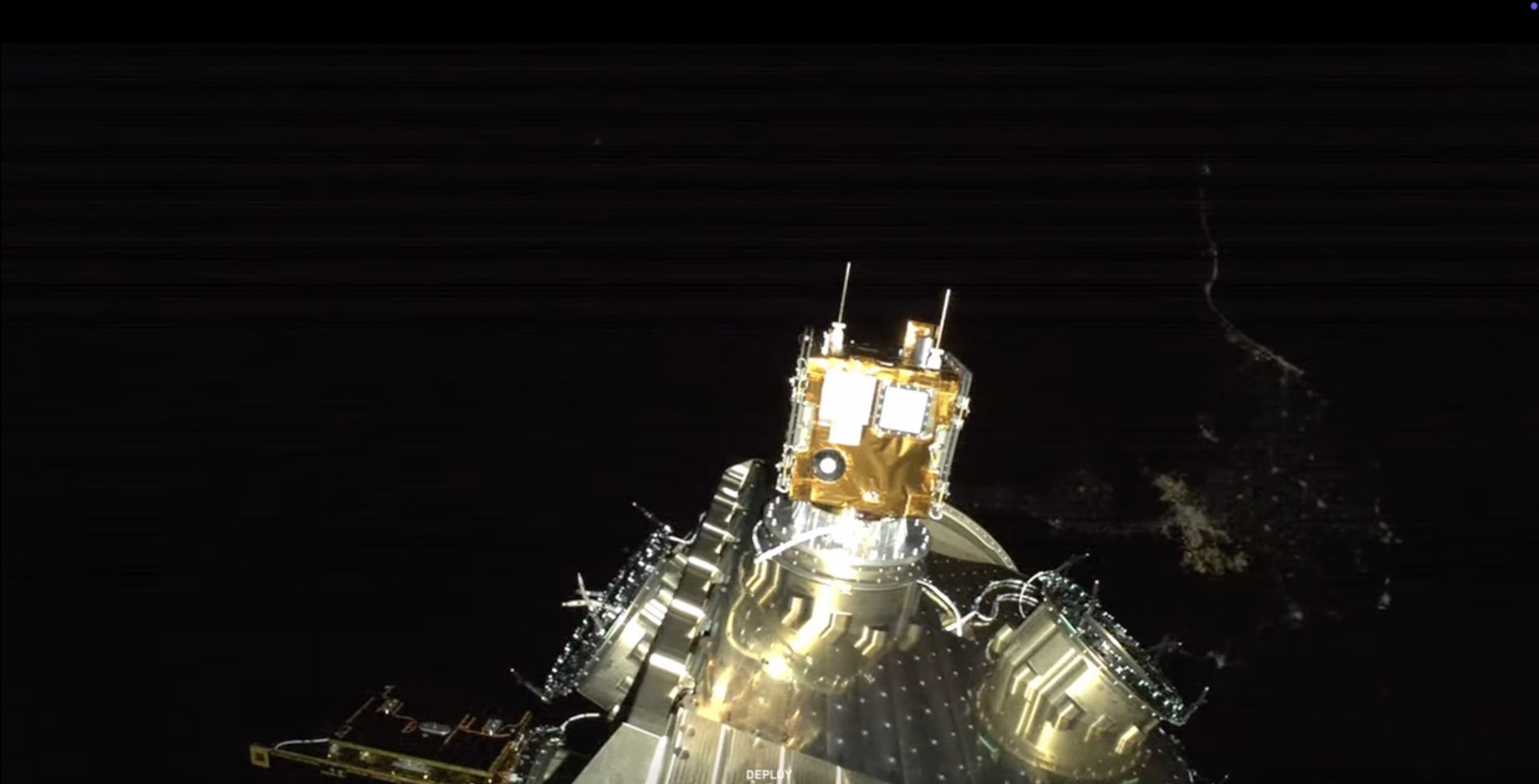
This sensor type can identify the unique hyperspectral signatures of many natural resources, including rare Earth elements—helping mining companies save millions of dollars in exploration costs.
BlackSky Doubles Down on Aussie NEI Partnership
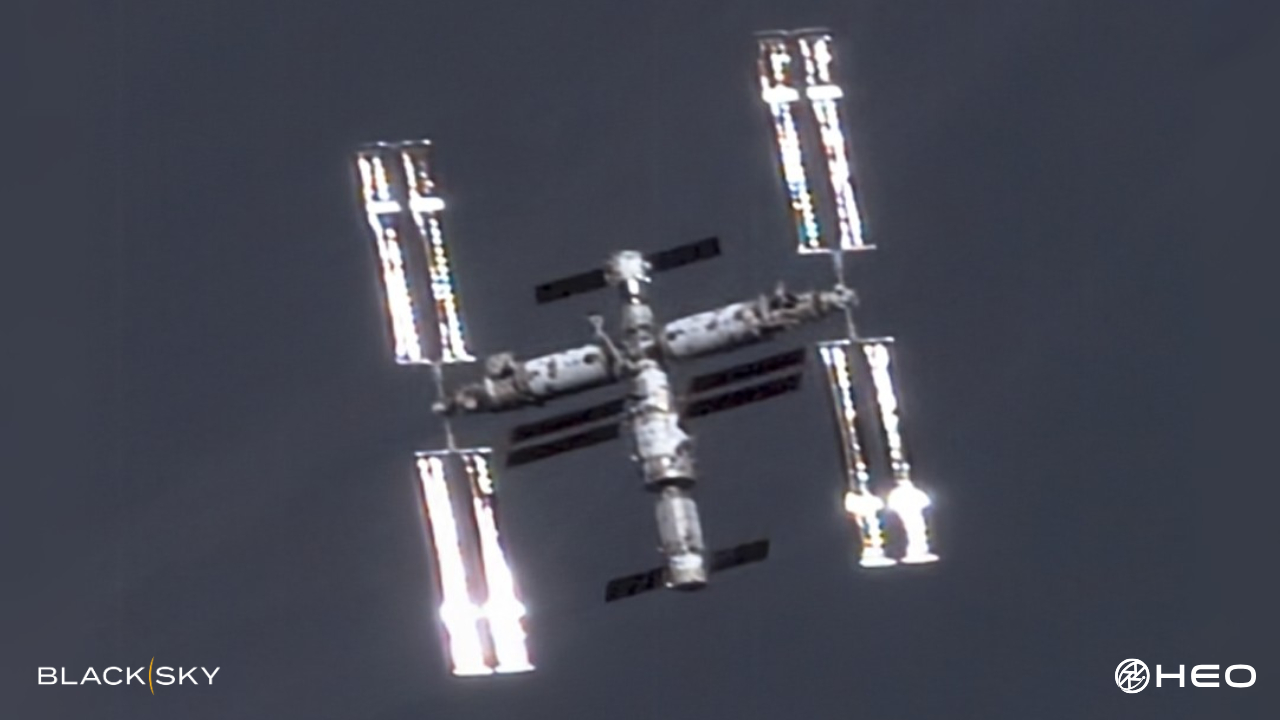
HEO’s software platform, called HEO Inspect, now has the ability to autonomously task BlackSky’s Gen-2 satellites.
Metop-SG Sats Spread the Wealth Across Europe
The MetOp second-gen series includes tech developed by the French space agency (CNES), the German Aerospace Center (DLR), Leonardo, RUAG, OHB, and countless smaller parts and systems suppliers across the continent.

NanoAvionics is Building a SAR Spysat for EU Defense Forces
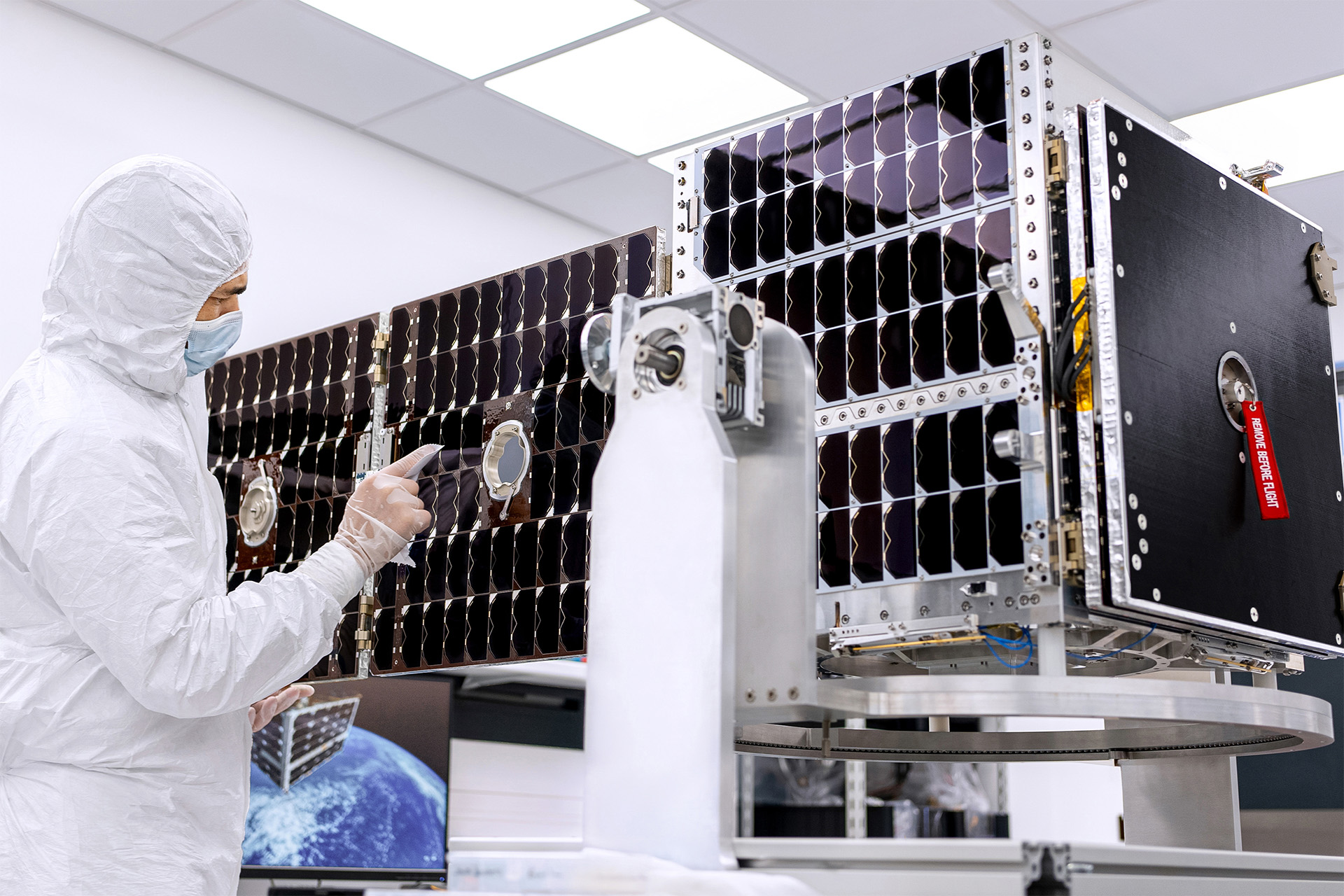
The satellite, expected to launch in early 2026, will deliver radar imagery with submeter resolution that can reveal movements on the ground day and night, and in all weather conditions.
ISRO Launches Groundbreaking US-Indian Space Radar Mission
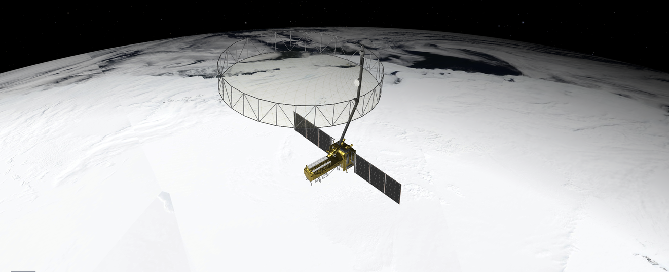
NASA says this is its most advanced radar satellite, and the first time a spacecraft has carried SAR payloads in two different bands.
Redwire to Develop VLEO Constellation for DeepSat
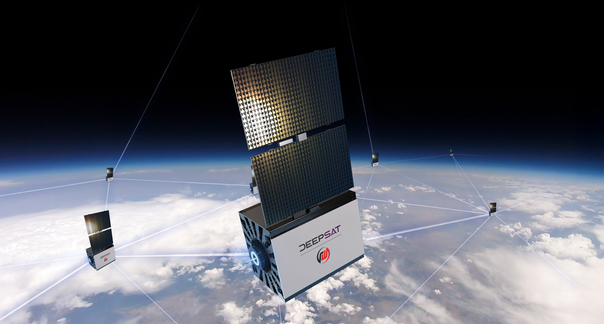
DeepSat, a LA-based startup with dreams of building multiple EO monitoring constellations in VLEO, partnered with Redwire last week to develop the initial phase of its planned constellation.

NRO Contracts Hydrosat’s Thermal Imaging Data
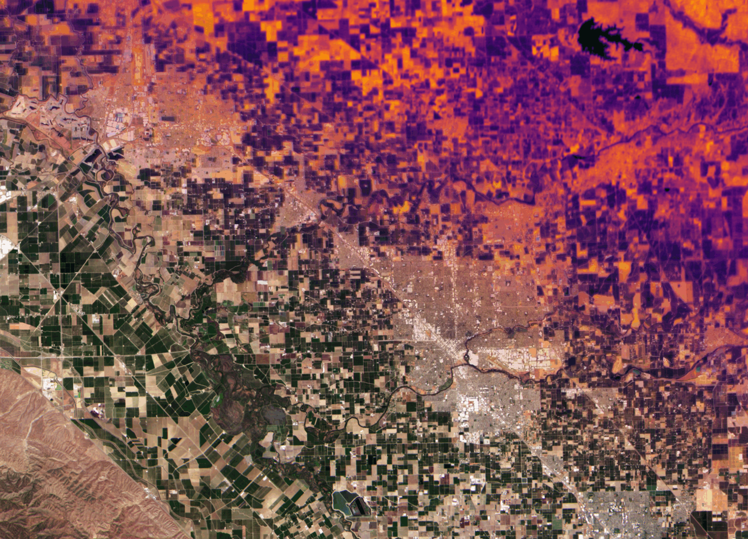
“Thermal data takes the cover of darkness away from the adversary.”
Inside ICEYE’s Flood Watch From Orbit
How satellites collect key data for first responders, insurers, and banks.

Planet Scores €240M Defense and Intelligence Contract
“This capacity is ultimately intelligence needed to act decisively and maintain their strategic edge.”

Maxar Unveils Sentry Tracking Product
Maxar unveiled a new product today to provide persistent monitoring of sites around the world, making it easier to spot anomalies or recognize patterns.