
IBM’s AI foundation model tech is turning its focus to a new research target: Earth science.
This morning, NASA and IBM announced a partnership that leverages the agency’s suite of geospatial data and historical imagery to generate insights on how the Earth and its climate has changed over time. IBM’s AI will analyze petabytes—that’s thousands of terabytes—of NASA’s Earth science literature and imagery, then make the process and results freely available to researchers.
Training the model: AI foundation models are trained on huge, unlabeled datasets, drawing connections between disparate pieces of information.
- Through this partnership, NASA and IBM aim to organize the agency’s giant catalog of scientific data to make performing complex searches easier and to make information on the world’s changing climate more accessible.
- NASA has 70 petabytes of archival Earth science data, which is expected to quadruple with the Surface Water and Ocean Topography (SWOT) and NISAR missions. Both are expected to launch by the end of 2024.
The collaboration
This is IBM’s first time training its AI capabilities on an Earth science project. And the timing is right—with climate change causing more and more extreme weather events across the globe each year, the need for timely, accurate, and detailed geospatial data is pressing.
Rahul Ramachandran, a senior research scientist at NASA, said in a press briefing the model could help disaster responders immediately map major floods or assess damage to houses after a destructive weather event.
“That’s the potential future that we would envision if this thing works as we envision it to,” Ramachandran said.
The pair will divide and conquer to make it happen.
- IBM will devote resources to building two AI foundation models using its machine learning technology.
- NASA will make its data available, as well as provide subject matter experts in geospatial data and Earth science to guide the model and its developers.
Sorting the literature: Up first, IBM will comb through more than 300,000 scientific papers, using its AI to identify an underlying structure and thematically organize that information in hopes that researchers will have an easier time sifting through existing scientific knowledge.
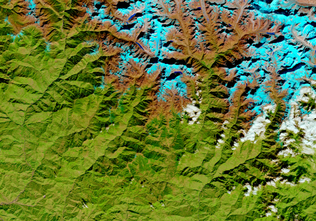
Tackling HLS2: The Harmonized Landsat-Sentinel 2 (HLS2) dataset is a joint project between NASA and the US Geological Survey that tracks land usage over time. For IBM’s second trick, it will build an AI foundation model based on HLS2 data. That model can then be used for a number of downstream applications in disaster prediction and monitoring and resource management.

Vantor Unveils New Sat Classes: Vantage and Pulse
Vantor introduced two new satellite classes today that will aim to improve on the company’s imagery resolution and revisit rate.

The State of EO 2026
Everyone wants their own eyes in space—and the EO industry is benefiting from it.

ICEYE Smashes Its Own Revenue Projections
ICEYE’s results reveal a massively successful year for a business in the right place at the right time.

Planet Labs Extends Middle East Space Imagery Restrictions
Planet Labs just proved that dual use doesn’t necessarily mean equal priority.

Later today, two trailblazing American astronauts will receive the Congressional Space Medal of Honor at the White House.
The details: Vice President Kamala Harris will award former NASA astronauts Douglas Hurley and Robert Behnken the medal at 4:15pm ET today. The medal was last awarded to Robert Crippen, the pilot of the first space shuttle flight, in 2006.
“Hurley and Behnken will receive the award for bravery” in the Demo-2 mission, NASA noted Monday. The NASA/SpaceX Demonstration Mission-2 (Demo-2) to the ISS in 2020 restored the US’s ability to launch its own astronauts to orbit from US soil.
Keep reading