ICEYE signed a contract with the Serhiy Prytula Charity Foundation yesterday to provide the Ukrainian government with access to its SAR constellation’s imaging capabilities.
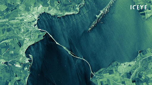
The background: ICEYE has launched 21 satellites to date and owns the world’s largest SAR satellite constellation. SAR satellites can gather information day and night, in all weather conditions—a major asset in wartime.
- Other EO players, including Maxar and Planet, have also been playing a vital role in increasing transparency around the war in Ukraine through imagery.
As part of the deal, ICEYE will give the Ukrainian government full control of one of its SAR satellites over the country. ICEYE will continue to operate the satellites. The contract also allows the Ukrainian armed forces to access ICEYE’s SAR constellation for frequently updated radar imagery of critical locations.
“ICEYE owns the most developed radar satellite imaging technology in the world as of today,” said Serhiy Prytula, founder of the Serhiy Prytula Charity Foundation, in a press release. “This agreement is a significant step in responding to the Government of Ukraine’s urgent request for critical earth observation data, and it will greatly benefit our Armed Forces.”