
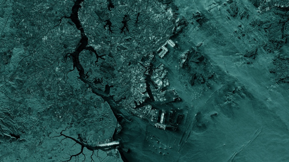
Finnish SAR company ICEYE announced a new family of products today that will use its existing satellite constellation to help customers locate, track, and characterize assets at sea.
The first product, called ICEYE Ocean Vision Detect, uses SAR data and machine learning algorithms to give customers data on the presence, location and size of ships in a certain region to help them take action.
More details: ICEYE US CEO Eric Jensen said demand for maritime data has increased significantly, especially over the past two years.
One potential use case Jensen described involves keeping an eye out for ships where they don’t belong. For example, if satellites spotted a ship where it wasn’t expected, it could judge, based on the size of the ship and depth of the water, that it had run aground and alert authorities to investigate further and send help.
“Rather than those organizations flying UAVs or planes around all the time to detect when this happens, the cost and time required for us to do it gives them a massive advantage,” he said.
Areas of interest: Some areas where an extra set of eyes on the seas are likely to be needed include the South China Sea, Arctic Circle, and Middle East, as well as economic exclusion zones near South America and Africa. Jensen said ICEYE is working closely with governments in those areas, whose economies are intricately linked to the sea through industries such as fishing or shipping.
What’s next: Jensen said the company is focused on improving its detection capabilities, including detecting smaller boats with greater accuracy, to ensure it can serve all of its customers.
“If we have 95% accuracy for vessels that are of a certain large size…we may not necessarily be solving the problem for customers and border protection who often are looking for vessels that are much smaller,” he said. “As the system gets better and better and better, we’ll be calibrating it for all those different classes of vessels, be it combatant or commercial in nature.”

Intel Authorization Act Proposes Limiting Commercial EO Access
EO data is a privilege, not a right, and the US government wants to control what EO satellite operators can and can’t share with the public.
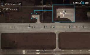
Exclusive: Satellogic Expands AI Apps with SpaceKnow Partnership
Satellogic partnered with SpaceKnow, the AI-powered geospatial intelligence analysis company, to build AI applications on top of Satellogic’s growing stock of satellite imagery.

Exclusive: Tilebox Launches AI-Focused Update
Tilebox announced an update today aiming to make AI agents more effective geospatial-data analysts.

Recapping Planet’s Q1 With CFO and President Ashley Johnson
“That’s one of the ways that I think we’re differentiated from companies that are going to have much more binary outcomes,” she said. “If you’re selling hardware, you recognize revenue when you’ve delivered that hardware. If it fails, that’s the end of the story.”
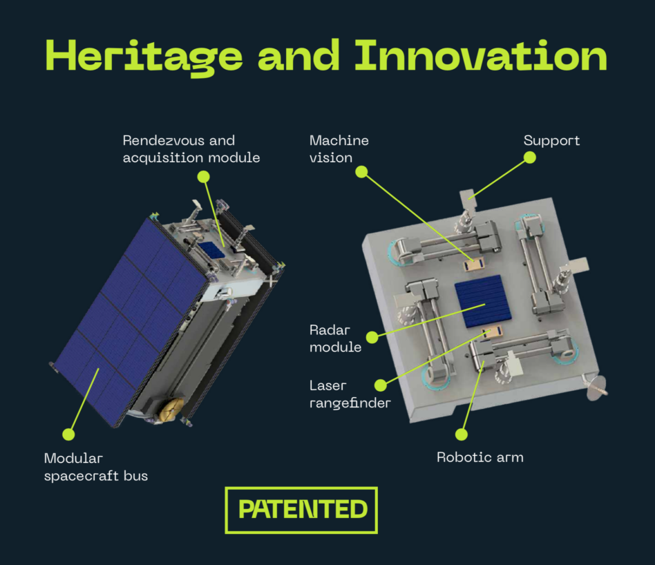
Ukrainian start-up Kurs Orbital has raised €3.7M($4M) to build and fly a prototype docking port for in-space servicing and debris removal missions.
How we got here: The company is a spin off from the Soviet-era Kiev Radio Factory, which used to build the autonomous Kurs docking system for Russia’s Soyuz and Progress spacecraft.
The collaboration with Russia ended after the annexation of Crimea in 2014, prompting engineers in Kiev to begin looking at opportunities to build a new range of products for western customers based on the Kurs legacy.
Keep reading