An Iranian EO satellite launched last year is switching its focus to land mapping. A spokesperson for the Iranian Space Agency (ISA) said Saturday that the Information Technology Organization of Iran (ITO) has teamed up to explore using the satellite’s images as evidence in court cases on land misuse.
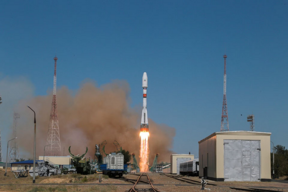
Iran’s eye in space: When Iran launched the Khayyam EO satellite in August from the Baikonur Cosmodrome atop a Soyuz rocket, its space agency said that it hoped the event would mark the beginning of a “strategic aerospace cooperation” between Iran and Russia.
- That partnership sparked concern for US authorities, who worried that cooperation between the two nations in space could bolster Russia’s intelligence in Ukraine as well as Iran’s in Israel and the Middle East.
- Tehran denied the accusation that Khayyam could be used to support Russian intelligence in Ukraine at the time, saying it would retain full control over the satellite from the outset despite its launch partner.
The Khayyam satellite was reportedly designed for scientific purposes, including radiation and agricultural monitoring. The satellite started sending home telemetry soon after launch.
The agreement: The ISA and ITO have signed a MOU to release a handful of images showing changes in land utilization to court authorities, agency spokesperson Hossein Daliriyan said. Under the deal, images from the Khayyam satellite can be used as evidence to settle disputes for both private citizens and government organizations.
“We are ready to offer necessary data to other Iranian state agencies and help them solve their problems in various fields, including environmental monitoring, water resources, soil erosion and land subsidence,” Daliriyan added.


