
Kayhan Space has unveiled its Satcat space intelligence tool, a free service that tracks objects in orbit from active satellites to drifting debris.
The Satcat database catalogs 60,000+ objects using data from US Space Command and other third-party sources. In the past, industry professionals would have to comb through multiple primary sources to find information, but Satcat is intended to be a one stop shop.
“We’re hoping that this will help our colleagues in the industry be able to move faster, spend less time searching for data, and do more work,” Kayhan CTO Araz Feyzi told Payload.
Everything everywhere all at once: Satcat began as an internal tool for the space traffic management startup, but soft launched to the public on May 1.
Now, Kayhan Space is putting the call out for more feedback into the system. The service saw 2,000 unique users in the past month and regularly makes improvements through comments received by its Discord server. Users can:
- Search an object by name, international ID number, object type, launch date, country of origin, apogee, or perigee.
- Track details about an object’s orbit, a satellite’s position and velocity, and visualize a satellite’s trajectory and distance from nearby objects.
- Forecast the visibility of an object from a user’s location (yes, this will help you know when the ISS is going over your house), as well as space weather patterns that may impact a satellite’s orbit.
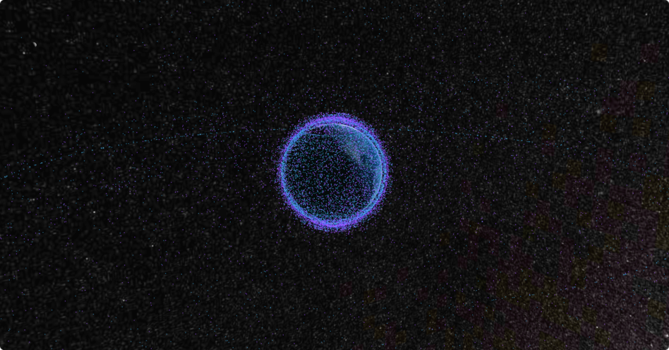
Dots on the globe: Satcat’s 3D visualization tool paints a clear picture of the scale of humanity’s orbital footprint, and Kayhan Space is devoted to making space more accessible to everyone from industry professionals to curious kids. Satcat’s release was preceded by Kayhan Space’s launch of Pathfinder Classroom, a space traffic coordination tool for universities, which the company hopes will spur the next generation to take space traffic management and debris mitigation seriously from their very first mission.
“Creating Satcat was driven by a passion for simplifying access to vital satellite data for aerospace industry professionals and enthusiasts alike,” explained Hyun Seo, Satcat’s lead designer.

Exclusive: Tilebox Launches AI-Focused Update
Tilebox announced an update today aiming to make AI agents more effective geospatial-data analysts.

Symphony Space Unveils Adagio-XL ODC Sat
With Adagio-XL, Symphony Space is getting into the orbital data center game.

Orbital Raises $5M Pre-Seed to Build ODC Constellation
Orbital’s ODC concept instead relies on a network of relatively smaller satellites, which can together handle large AI inference workloads, and remain in constant contact with the ground.

Reflex Aerospace Taps Arkadia Space for 2027 Mission
Reflex Aerospace selected Spanish startup Arkadia Space to provide a propulsion system for its satellite mission, launching in 2027.

From finding exoplanets to drafting contracts, AI can help at every corner of NASA, the space agency’s AI chief told Payload.
“Everyone will, in some way, have their workday augmented using some type of an AI technology,” said David Salvagnini, who became NASA’s chief artificial intelligence officer last month in addition to serving as chief data officer.
Salvagnini’s new role is part of a broader White House mandate for all federal agencies to appoint chief artificial intelligence officers issued late last year. But the space agency is a step ahead of the rest—it already boasts the most AI use cases of any federal agency.
Keep reading