
NUVIEW is looking to see the world in a whole new dimension.
The Orlando, FL-based startup emerged from stealth this morning with an ambition to map the globe in 3D each year and $1.2B in prospective customer contracts under its belt.
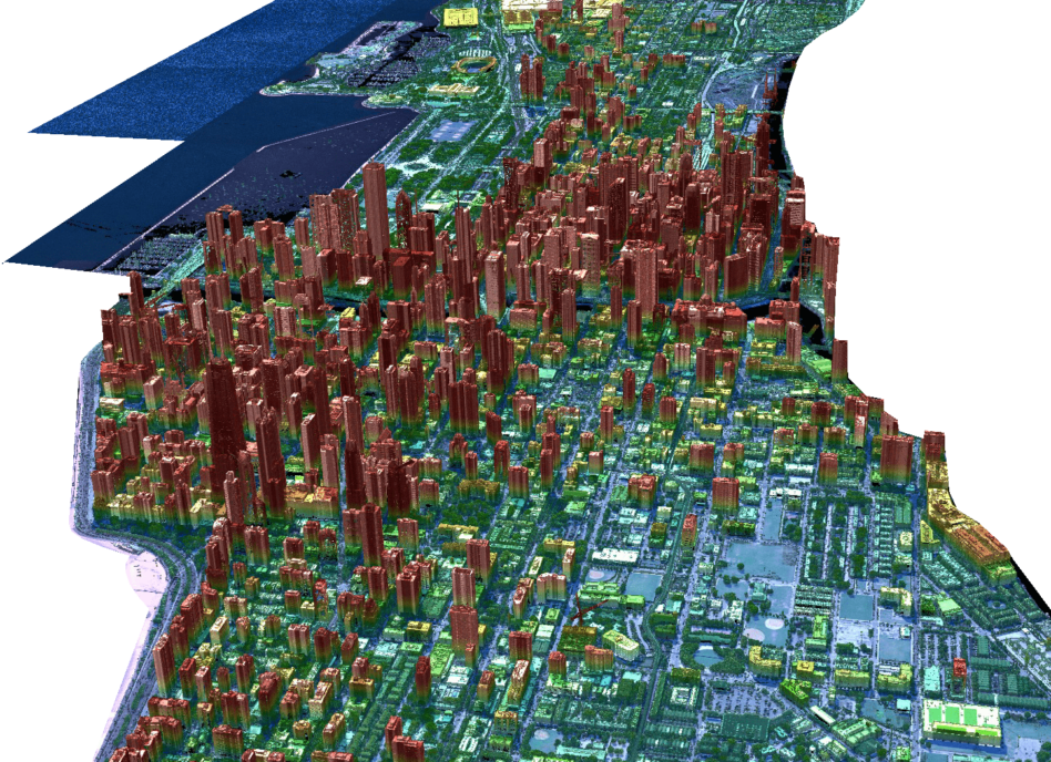
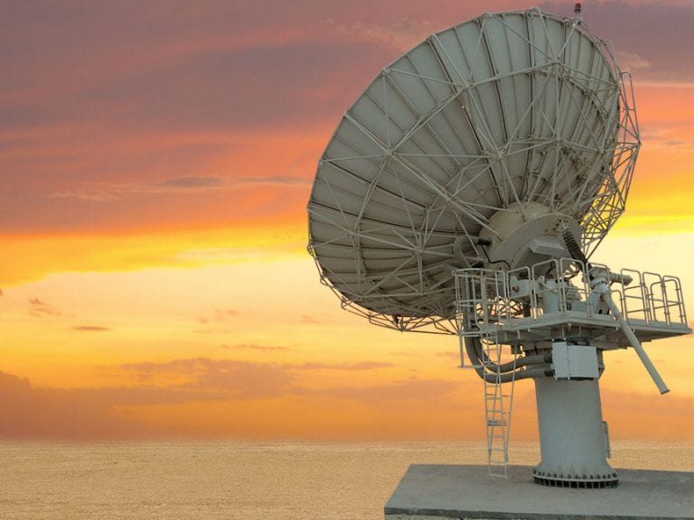
The world in 3D: While there’s no shortage of companies supplying optical, hyperspectral, or radar imagery from space, it’s much rarer to come across 3D data—and where it exists, it’s fairly targeted and low-resolution.
- A handful of scientific experiments collect LiDAR (light detection and ranging) data to create 3D images, including NASA’s ICESat-2, which maps Arctic ice, and GEDI, a currently paused ISS instrument that measures Earth’s forests.
- Otherwise, targeted LiDAR data over a particular region can be collected by aircraft.
- So far, NUVIEW founder and CEO Clint Graumann said, only 5% of the Earth’s surface has been imaged in LiDAR.
NUVIEW’s 3D vision: Graumann has been working in the EO business for 15 years. Over the past few years, a number of evolving factors have converged to enable a 3D-mapping constellation:
- Lower launch costs
- Improved LiDAR sensors, e.g., “Geiger-mode” sensors with lower energy requirements
- Improved satellite buses that can handle the higher power requirements for LiDAR sensors compared to optical or radar imagers
“We’re going to build a constellation of 20 satellites to map the entire land surface of the Earth once per year,” Graumann told Payload. “This is a huge undertaking, because the Earth is about 150 million square kilometers.”
NUVIEW holds proprietary IP and patents pending that it believes will open the doors to creating the first 3D map of the world from space (although others, including YC alum Array Labs, are also vying for that achievement).
“And we don’t just want to do it once,” Graumann said. “We want to do it every single year, and then take that data and make it available not just to the industry at large, but also to other Earth observation companies that can use our data to really make their data better for the market.”
A market for LiDAR: The market for 3D imagery of the Earth spans a variety of sectors, including downstream utilities and energy corridor mapping, forestry and carbon monitoring, flood mapping and water body management, as well as a slew of climate applications, Graumann said.
Over the past year and a half in full-fledged stealth operations, NUVIEW has conducted a preliminary design review of its LiDAR payload with key agency partners and secured $1.2B in customer contracts.
- Of that, ~$1.1B is signed in early adopter agreements, which will convert to revenue once the company has up-to-spec data available for sale.
- The remaining ~$100M is in LoIs.
Looking ahead: NUVIEW has raised an undisclosed amount of funding and secured a multi-million dollar USG contract that will enable it to hire a host of engineers on top of the 21 people it currently employs (a mix of full-timers and contractors).
The company is currently looking at a ~3-year turnaround to its first satellite launch. After that, it plans to launch a batch of satellites every 18 months until its constellation is complete.
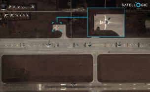
Exclusive: Satellogic Expands AI Apps with SpaceKnow Partnership
Satellogic partnered with SpaceKnow, the AI-powered geospatial intelligence analysis company, to build AI applications on top of Satellogic’s growing stock of satellite imagery.
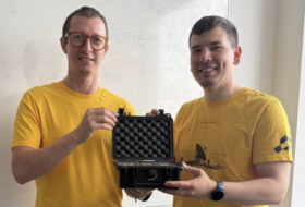
Exclusive: SpaceComputer and Spacemanic Partner on Security Demo Mission
Space Fabric is SpaceComputer’s solution not only for the growing hacking threats on-orbit, but also for the increasing number of shared-compute modules operating on rideshare sats.

SpaceX Starfall Demo Provides Validation for Reentry Startups
SpaceX ($SPCX) launched a demo mission of its Starfall reentry capsule yesterday, kicking off a new era of competition in the budding reentry sector.
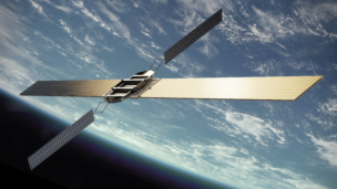
Sophia Space Raises $7M, Taps Apex for 2027 Demo Flight
The orbital-compute startup today announced new fundraising—as well as a demo flight with Apex. Both initiatives are aiming to position the company to begin deploying its edge compute hardware in-orbit.
Kratos ($KTOS) is going all-in on space services after growing investment in the division drove strong overall sales growth, the company revealed Wednesday in its Q1 financial results.
Overall financials:
Breaking out space, satellite and cyber:
Keep reading