AI startup Synthetaic has closed a $13M Series A, the Delafield, WI-based company announced this morning. Lupa Systems led the round, with TitleTown Tech, Betaworks, Booz Allen Hamilton, and Esri also participating. Synthetaic has raised $17.5M to date.
AI’s “data problem”
Labeled data is a must for most state-of-the-art models. In a world where scale often correlates with performance, labeling quickly becomes a quite expensive line item, all the while adding weeks or months of lead time to model development.
It isn’t compute power or models holding AI back, but data, Synthetaic CEO and founder Corey Jaskolski tells Payload. “To train high-performance AI right now, you need human hand-labeled data.” Synthetaic was born from a simple question: “What if that wasn’t the case?”
- Jaskolski is an MIT-trained techie with two decades of AI/machine learning experience across DARPA, SOCOM, and various conservation/anti-poaching projects.
- In 2020, he won the Rolex National Geographic Explorer of the Year Award
Synthetaic’s solution
In short, the company automates annotation.
Its core offering is RAIC (Rapid Automatic Image Categorization). RAIC uses generative algorithms to produce synthetic data, which is used to “effectively form a language under which we can recast and understand real data,” Jaskolski says. Use cases include object detection, search, data labeling, and categorization. How does it work in practice?
- A user can click on a map tile with real satellite or SAR imagery and identify an object.
- Behind the scenes, RAIC uses synthetic, unsupervised, generative data to understand the domain space.
- The platform then generates photorealistic images that resemble the selected object, develop its own descriptor, and then correlates it back with the real-world imagery.
“Synthetaic introduces new technology that solves AI’s data problem by building models in minutes instead of months,” Jaskolski says. The company claims the tool will dramatically reduce the costs of development, while also lowering barriers to entry. The platform is configured so that non-AI experts (and even non-technical users) can build and deploy models.
Case studies
#1) “We took 60-centimeter data for all of California and Texas, a massive unlabeled dataset. We clicked on a tile that contained a real image of a CAFO [concentrated animal feed operation]. Using RAIC we were able to identify all the CAFOs in Texas and California.”
- Hand-labeling data would have cost $1M+ and taken 3-6 months, Jaskolski says.
- “RAIC can do it for tens of thousands of dollars,” with one person tasked to the project.
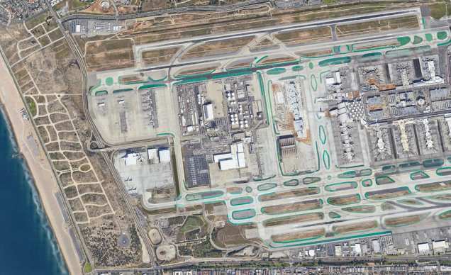
#2) As a part of its work with the US Air Force’s AFWERX, Synthetaic selected a ring around Moscow and used RAIC to find military aircraft, civilian aircraft, helicopters, and storage containers. The company also used human hand habeling to build these datasets, then trained an AI model on both.
- Averaging across the four object categories, RAIC attained roughly the same levels of accuracy as hand labeling. “Instead of 60 hours of human labeling and training, the whole RAIC process took 12 minutes.”
#3) In a ~7-min. demo for Payload, Jaskolski used RAIC to build and run an AI model that located solar panels across 400,000 map tiles in and near Milwaukee.
The space angle
“Geospatial was our first love and where still we’re doing a lot of work,” Jaskolski says. He estimates that space-collected data represents ~50% of Synthetaic’s current work. With geospatial AI, “we found really great traction, both from customers but also from technical performance,” Jaskolski says.
“There’s an awful lot of geospatial data coming off satellites” that isn’t being put to use. Data isn’t labeled and processed in both the public and private sectors, due to some combination of:
- Datasets’ size (Earth is big)
- Proprietary considerations
- The data is classified
- Finally, even when it is processed, “data is hand-labeled by people who aren’t likely experts in geospatial data.”
A trio of timely questions to close
1) Was it hard to raise this round, given the macro backdrop?
“We actually had a great fundraising experience…[and] turned down more investment dollars than we accepted.” Jaskolski attributed the level of investor interest to already having active customers and “solid product-market fit.” Plus, it was easy to show the product—RAIC—to prospective investors in 5–10 minutes (Payload can vouch for this one).
2) With this round closed, do you anticipate your cost structure significantly changing?
Not too much. Jaskolski plans to grow headcount from 21 today to 30+ by year’s end, and “by series B, we’ll be closer to 50.” Jaskolski says he’s still focused on recruiting top AI talent, while also building out a sales org.
3) Could RAIC be put to use with satellite imagery from Ukraine?
“We can…find planes, tanks, or anything the user wants with a single click.” While Synthetaic hasn’t “ingested or used any Ukraine satellite data ourselves yet,” the company is having conversations with partners about ways its analytics tool could be used in the ongoing war. “I suspect that’s going to be an area where RAIC will be used.”


