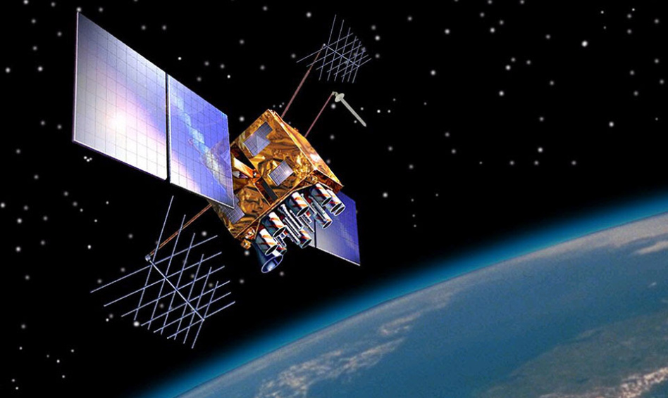
Last week, a Russian government official announced on state television that Russian ASAT capabilities could wipe out 32 NATO GPS satellites. That’d leave users around the world without access to navigation services…and US weapons systems without a compass.
Sitting ducks? As of Nov. 11, there were 26 operational GPS satellites out of 31 total in orbit. That number has been as high as 32, hence the Kremlin’s threat. The satellites supply both civil and government navigation data.
- Russia’s recent ASAT strike kaboomed one of their own defunct satellites ~480km above Earth. GPS is far higher, at ~20,200km.
The US-run GPS system isn’t the only version of a satellite navigation, or satnav, system: Russia has GLONASS, China has BeiDou, and the ESA launched two additions to their Galileo satnav constellation earlier this week. Regional satnav systems build on GPS by boosting accuracy in more targeted areas of the world.
- GPS is the most-used system globally, with ~4B users as of 2019, per the US Air Force.
- Galileo has ~2.3B users globally, ESA reports.
Alternatives to GPS…and don’t say maps: Luckily, GPS is not the only mechanism we have for navigation. The Pentagon is developing other Positioning, Navigation, and Timing (PNT) systems, mulling contingency plans should something go awry with GPS. Magnetic navigation, inertial sensing, and navigation by the stars are all on the table.
And the DoD isn’t the only entity developing alternative PNT systems. Academic researchers are exploring new satnav possibilities, too. In November, UC Irvine researchers published evidence that they had used signals indicating the location and movement of Starlink satellites to pinpoint a location on Earth (building on similar research published by UT Austin professors).
- The Irvine researchers’ method gave a location within ~8 meters. GPS is accurate from an upper bound of ~5 to as little as 0.3 meters.
- Zak Kassas, lead author of the study, said that this form of navigation will increase in accuracy as SpaceX rounds out its constellation.
Others to watch: South Korea plans to spend $3.1B to develop a Korea Positioning System made up of eight satellites. And Xona Space Systems recently raised $8M to fly a demonstration mission of its PNT payload. The California startup intends to build an alternative to GPS in LEO.
Payload’s takeaway: The ‘push’ to develop GPS alternatives stems from threats to the legacy system and operational risks. But there’s also a ‘pull’ for more accurate navigation systems. Mission-critical, hyper-accurate positioning data could benefit all manner of fleet operators, from launch vehicles to self-driving cars to drones.


