Image: MDA
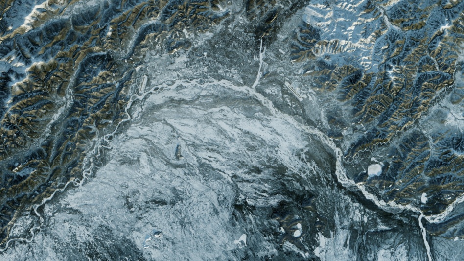
MDA, a Canadian satellite developer and geospatial analytics provider, announced Tuesday that it is supplying satellite imagery to Ukraine. The move follows a similar announcement the same day from Satellogic and Astraea.
In a statement, MDA said it “secured special authorization” from the Canadian government “to collect synthetic aperture radar (SAR) satellite imagery over restricted areas in Ukraine.”
- “We’re honored that we are able to use our radar satellite capabilities to contribute to these international efforts, and will continue doing everything in our power to help the government of Ukraine protect its citizens,” MDA CEO Mike Greenley said.
- “We can deliver intelligence reports and people can make determinations of what’s going on the ground, or on the sea, from our radar imagery,” Greenley told Reuters.
- On MDA’s website, marketing materials for its geospatial analytics tools state the company can help governments “keep an eye on military mobilization,” among other things.
Takeaway: The satellite imagery situation is changing quickly. MDA told Reuters it secured a license on Friday and that is now communicating intelligence in conjunction with Western agencies. Asked about possible Russian cyber reprisals, Greenley told Reuters that MDA has implemented a “slightly heightened security posture.”


