
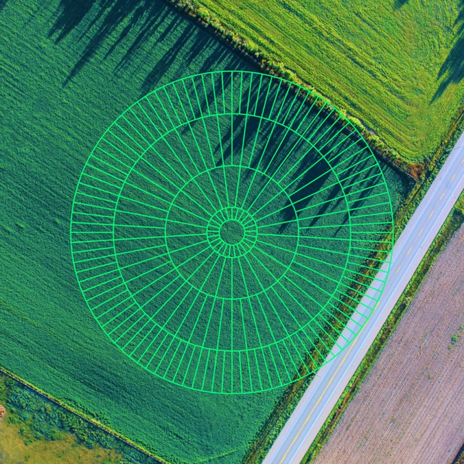
Climate tech company Hydrosat announced this morning that it has completed the acquisition of IrriWatch, a Netherlands-based irrigation management software company. The deal has been in the works for over a year.
The acquirer: Hydrosat uses satellite thermal infrared imagery and data analytics to measure water scarcity and the effects of climate change. The company produces crop yield forecasts and improved irrigation tools to provide insights for commercial and government customers.
The company estimates that by using its thermal imagery to guide irrigation decisions, growers can increase crop yields by up to 50% while consuming 25% less water.
The acquiree: IrriWatch uses satellite data to assess crop conditions, such as leaf and soil temperatures, soil moisture levels, water use, and agricultural production. Its algorithms utilize this data to provide irrigation recommendations to increase production. The company’s products also measure leaf nitrogen content for fertilizer management, support carbon sequestration analysis, and offer hyper-local weather content.
What’s next? The acquisition takes another step toward Hydrosat’s objective of combining data with solutions that help farmers pursue environmental sustainability goals in the face of climate change and drought, producing more food while conserving water. Integrating IrriWatch’s software with Hydrosat’s crop classification and yield forecasting will enable Hydrosat to offer solutions to the entire agriculture industry.
“IrriWatch cements Hydrosat’s position as a solutions provider in agriculture and climate,” Hydrosat CEO Pieter Fossel told Payload via email. “Both companies share the same vision of powering the transition to sustainable agriculture using thermal data from space.”
How we got here: This acquisition follows Hydrosat’s $20M Series A in April. The company develops its products based on open source EO datasets, but is working to launch its own 16-satellite constellation to provide constant high-resolution thermal images. VanZyl-1 and VanZyl-2, the company’s first fully operational commercial satellite missions, are due to launch next year.
“Hydrosat will continue to develop our AI and thermal-based solutions for agriculture and climate,” Fossel said. “We expect most of this work to continue to be organic, building upon the world-leading satellite data processing and analytical capabilities within our company.”

ISU Founder Shares a Vision Beyond Liquidation
Payload spoke with ISU cofounder Bob Richards and Dean Emerita Angie Bukley about what happened, and what comes next.
Exclusive: Loft Orbital Scales Offering with Apex Bus Purchase
Loft Orbital announced the purchase of new satellite bus inventory today designed to fly larger, more power hungry customer payloads.
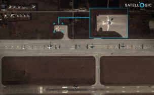
Exclusive: Satellogic Expands AI Apps with SpaceKnow Partnership
Satellogic partnered with SpaceKnow, the AI-powered geospatial intelligence analysis company, to build AI applications on top of Satellogic’s growing stock of satellite imagery.
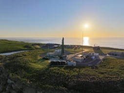
Rocket Lab Enters the Satcom Market With $8B Iridium Deal
Rocket Lab ($RKLB) has been teasing its entrance into the “space applications” market for years. Yesterday, it pulled the trigger.

Lawmakers previewed two legislative proposals in the works during a panel discussion at Payload’s Space Capitol event in DC on Tuesday night.
NDAA preview: Rep. Salud Carbajal (D-CA) will introduce an amendment to the National Defense Authorization Act to help federal launch ranges keep up with the rapidly growing launch cadence in Florida and California.
The “Spaceports of the Future” amendment would make changes at Patrick Space Force Base and Vandenberg Space Force Base to make the facilities “basically function like airports so we could have more companies participate with launch,” Carbajal said. In addition, the amendment would require companies to pay a fee for the wear and tear on DoD launch infrastructure “to give the taxpayers assurance that this is a partnership,” he said.
Keep reading