
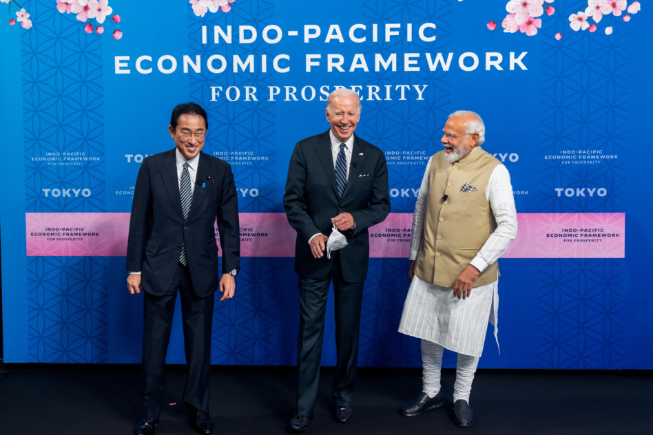
On Tuesday, the Quadrilateral Security Dialogue—better known as the Quad—met in Tokyo to discuss how to best deter China. Among other things, Pres. Biden and the leaders of Japan, India, and Australia agreed to launch a satellite tracking initiative to fight back against illegal fishing and trading in the Indo-Pacific region.
The Quad: The security forum began meeting after a decade-long hiatus in 2017 with the goal of maintaining a “free and open Indo-Pacific.” The group meets relatively frequently to go over security initiatives and discuss leading threats and concerns in the region.
The group is not specifically dedicated to countering China. But China is “unilaterally changing the status quo in the East and South China Seas,” Japanese PM Fumio Kishida said, which is raising regional alarm bells.
Maritime security: “Dark shipping” has become a major issue for Indo-Pacific nations. Dark ships are vessels that have turned off their Automatic Identification System (AIS) transponders so they can’t be detected. Satellite imagery could allow countries to better monitor these ships sans AIS.
As part of a more robust science and technology agreement, the four Quad countries pledged to make relevant EO data more accessible to the public. The result: the Indo-Pacific Partnership for Maritime Domain Awareness (IPMDA). The agreement will provide a “near-real-time, integrated, and cost-effective maritime domain awareness picture,” per a White House statement.
IPMDA will create this improved maritime domain awareness through a series of measures:
- Making commercially available, unclassified AIS and radio-frequency data in the region available and accessible to partners
- Financially supporting data sharing between various information centers
- Improving access to satellite imagery through the Quad Satellite Data Portal, which aggregates links to public satellite data.
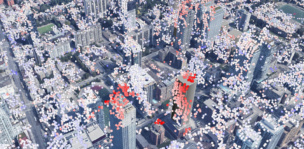
CATALYST Unveils its Sat Product for City Skylines
“Now we can show a construction firm what was already moving before they broke ground, an insurer the risk they were underwriting blind, and a city authority the consequences of densification they had approved but were not monitoring,” PCI Geomatics CEO June McAlarey said in a statement.

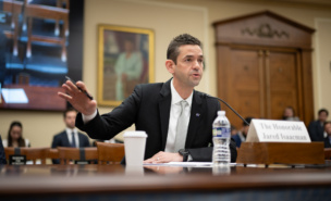
Isaacman Continues to Defend Budget Cuts to Congress
The hearing also gave Isaacman a chance to provide more detail on the agency’s top objective: accelerate the US return to the Moon.
Lawmakers Promise to Reject Proposed NASA Cuts—Again
“I simply do not believe that this budget proposal is capable of supporting what President [Donald] Trump himself has directed the agency to accomplish,” Babin said.

Axiom Space’s Suit Set to Fly in 2027
“From a production standpoint, we’re putting together the first qualification suit,” Michael López-Alegría, the company’s chief astronaut, told Payload. “That continues regardless of what they say.”

What’s it like micromanaging a SpaceX rideshare? Well, let’s find out…
Exolaunch is providing launch and deployment services for 21 satellites aboard today’s SpaceX Transporter-5 mission, which is set to lift off at roughly half past 2 Eastern. Exolaunch provides launch services, makes separation systems, and has certainly earned frequent flier status with SpaceX.
The German company, which spun out of the Technical University of Berlin in 2013, has deployed 210 satellites to date (82% cubesats, 18% microsats).
Keep reading