

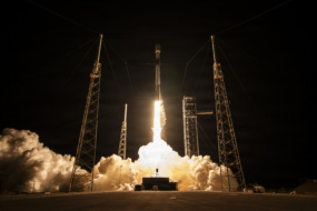
Earlier this week, Ukrainian entrepreneur Max Polyakov told reporters that it was critical for Ukraine’s military to gain real-time access to Western satellite operators’ imagery (h/t Ars Technica). “Right now, we need to have this intelligence,” Polyakov said Monday, as quoted by Ars. “Every night, we’ve been bombarded, and at night we are blind.”
- Polyakov said imagery being shared with the public has a lead time of two to three days, which means it isn’t actionable for Ukrainian forces. Time is of the essence.
- Synthetic aperture radar (SAR) data would be especially useful for intel-gathering, per Polyakov. War doesn’t stop at night. And, at this time of year, Ukraine has cloud cover 80% of the day on average.
Yesterday, Ukraine Minister of Digital Transformation Mykhailo Fedorov amplified Polyakov’s plea in a letter posted to Twitter and addressed to Planet, Maxar, Airbus, SIIS, BlackSky, Iceye, SpaceView, and Capella. Fedorov asked the companies to share high-res imagery in real time, supply SAR data, work with Polyakov’s EOS Data Analytics, and cease any activity that could help military planners in Moscow and Minsk.
Takeaway: “This is really the first major war in which commercially available satellite imagery may play a significant role in providing open source information about troops movements, military buildups in neighboring countries, flows of refugees, and more,” Fedorov wrote.
The importance of satellite imagery in this conflict can’t be overstated. Western (or Western-allied) commercial satellite operators find themselves in an exceptional circumstance. If they share the imagery, it may be kept on a need-to-know basis for quite some time.

Intel Authorization Act Proposes Limiting Commercial EO Access
EO data is a privilege, not a right, and the US government wants to control what EO satellite operators can and can’t share with the public.
DoD Adds $11.4B to NatSec Launch Contracts
The DoD upped its ceiling for national security space launches on Friday, more than tripling the pool of NSSL launch contracts from $5.6B to $17B.
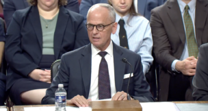
NatSec Space Policy Nominees Face Questions from Senators
The Pentagon’s nominee to lead space acquisition said the military’s legacy space programs weren’t built for the modern acquisition reforms now reshaping the Space Force.

Pulse Space Lands $40M Space Force Contract to Develop Laser Tech
Pulse Space, a WA-based startup building laser systems capable of beaming power to other satellites on orbit, announced a $40M Space Force contract.
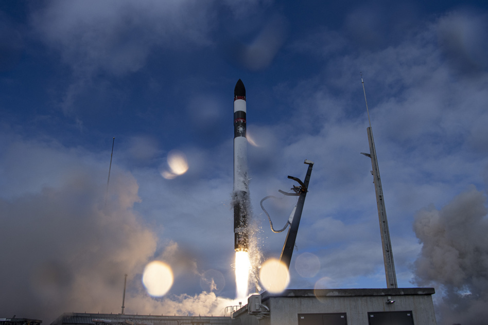
Image via Rocket Lab
Rocket Lab (NASDAQ:RKLB) doesn’t procrastinate on Mondays. The launcher had a busy day.
In NZ: Rocket Lab launched “The Owl’s Night Continues” from its new Pad B. An Electron successfully deployed a StriX-β satellite for Japanese SAR operator Synspective. To date, Rocket Lab has now deployed 110 satellites.
Keep reading